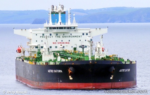
vessel Fuga Bluemarine IMO: 9235725, Crude Oil Tanker vesseltracker.com
Vessel Fuga Bluemarine IMO: 9235725, Crude Oil Tanker
MMSI: 352978218 callsign: 3E3335 size: 250x42

Find the position of the vessel Fuga Bluemarine on the map. The latter are known coordinates and path.

marine traffic ship tracker show on live map

The current position of vessel Fuga Bluemarine is 29.9018 lat / 122.084 lng. Updated: 2025-06-05 05:49:33 UTC

Currently sailing under the flag of Panama

Details:


Last coordinates of the vessel:
2025-06-05 05:49:33 UTC, 29.9018, 122.084, course: 80, speed: 1.4

Track of the vessel in the last 14 days


Most frequent ports a vessels calls at Fuga Bluemarine (352978218):

Sambu, traffic: 4
Strait Of Gibraltar, traffic: 3
Bur Ibrahim, traffic: 2
Nakhodka, traffic: 2
Port Said, traffic: 2
Singapore, traffic: 2
Vishakhapatnam, traffic: 1
Korsor, traffic: 1
Primorsk, traffic: 1
Ra’S Shukhayr, traffic: 1
Sharjah, traffic: 1
Skagens Odde, traffic: 1

Link to the map:


Find another ship

Fuga_Bluemarine (352978218) last ports (portcalls and passsages)

Strait Of Gibraltar | 2024-01-10 22:07:49
Port Said | 2024-01-02 17:07:14
Bur Ibrahim | 2024-01-01 22:18:25
Vishakhapatnam | 2023-12-15 01:45:05
Nakhodka | 2022-12-28 08:30:30
Nakhodka | 2022-12-07 02:06:46
Port Said | 2022-09-15 04:53:09
Strait Of Gibraltar | 2022-09-07 10:56:26
Korsor | 2022-08-30 20:00:03
Primorsk | 2022-08-26 10:32:17
Skagens Odde | 2022-08-17 04:59:43
Strait Of Gibraltar | 2022-08-10 08:04:31
Bur Ibrahim | 2022-07-30 22:33:47
Ra’S Shukhayr | 2022-07-30 07:29:30
Sharjah | 2022-03-24 12:51:49
Sambu | 2022-02-21 15:16:58
Sambu | 2022-02-14 06:02:54